Thanh Hoa Airport Terminal Map
Location: Thanh Hoa, Vietnam
Planning your journey through Thanh Hoa Airport?
Tho Xuan Airport (THD) serves Thanh Hoa province in northern Vietnam. Located approximately 45 kilometers west of Thanh Hoa city, it operates as both a civil and military airport, offering domestic flights to major cities like Ho Chi Minh City and other regional hubs.
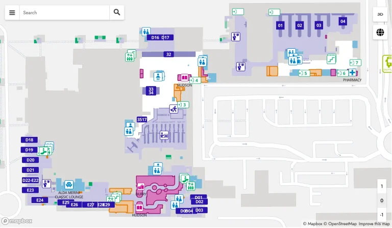
The most up-to-date Thanh Hoa Airport Terminal Map provides clear details to help you navigate with ease. With dining options like Pho Thanh Hoa and retail stops offering local goods, you’ll find everything you need before your flight.
If you’re waiting to board, don’t miss the comfortable seating areas near Gate 3 for a quick rest. This map is your guide to a smooth and stress-free airport experience!
THD Airport Terminal Layout Map 2024

FAQ
How big is Long Thanh International Airport?
Long Thanh International Airport, under construction in Dong Nai Province, Vietnam, will cover 5,000 hectares. Once fully completed, it will handle up to 100 million passengers annually and is set to become Vietnam’s largest airport.
How do I know which airport terminal my flight is?
You can check your flight terminal by looking at your boarding pass, airline confirmation email, or airport website. Most airports also display terminal details on flight information screens.
What is the name of the airport in Thanh Hoa?
The airport in Thanh Hoa is called Tho Xuan Airport (THD).
What is the closest airport to Thanh Hoa?
The closest airport to Thanh Hoa is Tho Xuan Airport (THD), located approximately 45 kilometers west of Thanh Hoa city.