Indianapolis International Airport Ground Transportation Map (2025-2024)
With this Indianapolis International Airport Ground Transportation Map, you can spot all pickup zones, shuttle stops, and transit connections in one view.
Indianapolis International Airport (IND) places most public transport at the Ground Transportation Center on Level 1, which is linked to the main terminal by enclosed walkways. That’s because IND concentrates all arrivals and rideshare access at the same curb, so transfers are straightforward and well-signed.
Look for blue “Ground Transportation” signs on Level 1 to locate your bus bay or rideshare zone. The map outlines parking shuttles, Lyft and Uber staging areas, and city links via IndyGo’s Blue Line BRT, making onward travel simple.
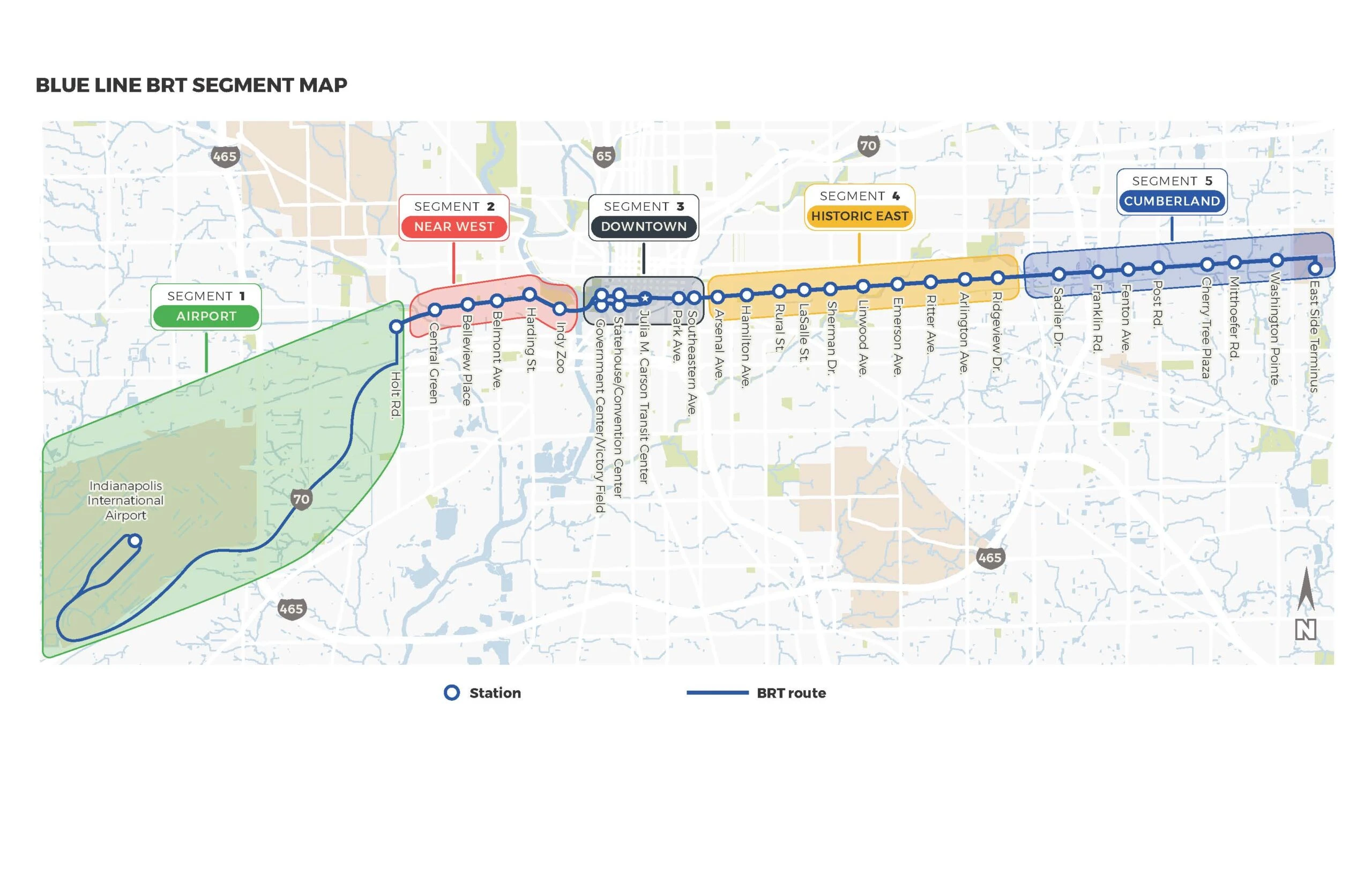
Indianapolis International Airport Blue Line BRT Route Map 2025-2024
IndyGo began Blue Line BRT construction in early 2025 following a February groundbreaking and finalized a federal grant that same quarter.
Nearly $250 million in construction contracts were approved later in the year, advancing the 2028 opening timeline.
Phased construction launched along twelve Washington Street segments, with closures scheduled between Holt Road and Rockville Road, Belmont Avenue and Harding Street, and a partial closure at Washington Street and College Avenue for storm sewer installation.
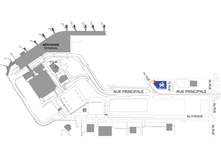
Indianapolis International Airport Lyft Staging Area Map 2025-2024
In 2025, Lyft revised its Indianapolis International Airport driver operations to confirm staging exclusively in the Bus and Limo Lot, where only queued drivers receive ride requests.
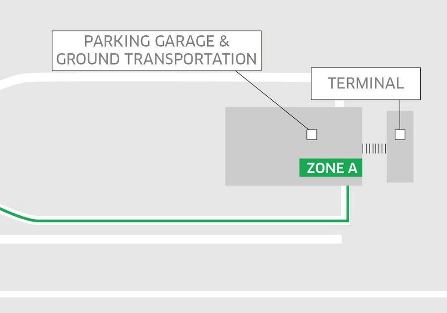
Updated guidance also introduced an Express Match Zone A for short-term waiting after drop-off, requiring drivers to remain until prompted for pickups.
Passenger collections continue solely at the Ground Transportation Center in Zone B, with app-based pin placement directing riders to the approved pickup point.

Indianapolis International Airport Uber Stagine Area Map 2025-2024
Printable Indianapolis International Airport Ground Transportation Map PDF 2025
FAQ
Does Indianapolis Airport have shuttle service?
Indianapolis International Airport offers shuttle service through several providers, including GO Express and local hotel shuttles. Shuttle pickup areas are located outside the Ground Transportation Center across from baggage claim. Services include rides to downtown hotels, parking lots, and surrounding cities.
What is the best transportation to Indianapolis Airport?
The best transportation to Indianapolis Airport is via rideshare services like Uber or Lyft for convenience and direct drop-off. GO Express offers affordable shuttle rides from downtown, while IndyGo’s Route 8 provides a budget public transit option. Each choice depends on location, budget, and time.
Can Uber pick up at Indianapolis Airport?
The best transportation to Indianapolis Airport depends on budget and location. Rideshare services like Uber and Lyft offer fast, direct service. GO Express provides affordable airport shuttles from downtown. IndyGo Route 8 is the cheapest option, connecting the airport to key city stops via public transit.
How do I get from Indianapolis Airport to downtown?
Get from Indianapolis Airport to downtown by using GO Express shuttle, which runs every 30 minutes and costs around $13. Rideshare apps like Uber and Lyft offer door-to-door service in 20–30 minutes. IndyGo Route 8 is the cheapest option at $1.75, with multiple downtown stops.

