Bakersfield Airport Terminal Map
Location: Bakersfield, California
Are you thinking about visiting Bakersfield?
Bakersfield Airport, officially known as Meadows Field Airport (BFL), is a public airport located 3 miles northwest of downtown Bakersfield, California. It serves as the main airport for the Bakersfield area and is one of two international airports in the San Joaquin Valley.
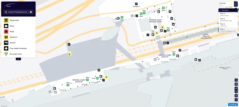
You may easily navigate the airport with the aid of the most recent Bakersfield Airport Terminal Map. While waiting for your flight, you’ll find comfort in the modern terminal and the comfortable seating spaces close to Gate 4.
For a quick bite to eat before flight, the airport also has excellent dining alternatives, such as the Baked Bakery Café. The map has all the information you need to find your way about the terminal, whether you’re simply stopping by or getting ready for your excursion.
BFL Airport Terminal Overview Map 2024

FAQ
What airlines fly out of Meadows Field in Bakersfield?
American Airlines and United Airlines fly out of Meadows Field Airport in Bakersfield.
What time does Meadows Field open?
Meadows Field Airport is open daily from 3:00 AM to 1:30 AM.
How early should I arrive at Bakersfield airport?
Passengers at Meadows Field Airport should arrive 2 hours before domestic flights if checking bags, 75 minutes if not, and 60 minutes if already checked in online.
Does Bakersfield airport have Uber or Lyft?
As of January 2025, Lyft is the only ridesharing company authorized to operate at Meadows Field Airport.