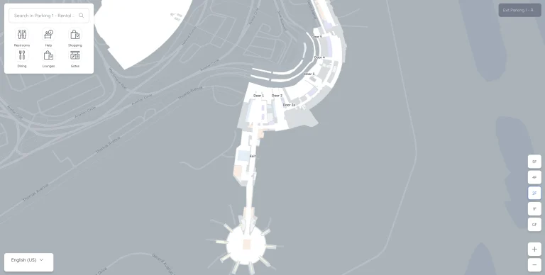
Battle Creek Airport Terminal Map
Location: Battle Creek, Michigan
The most up-to-date Battle Creek Airport Terminal Map is your go-to guide for navigating W.K. Kellogg Airport with ease.
Battle Creek, Michigan, is served by Battle Creek Executive Airport at Kellogg Field (BTL). Located about 3 miles west of downtown, BTL supports general aviation, business charters, and flight training. It is home to the W.K. Kellogg Air National Guard Base and plays a key role in the region’s aviation activities.
Whether you’re heading to the Battle Creek Executive Hangar or grabbing a coffee at the aviation-themed café, this map ensures you know exactly where to go. Discover the convenient parking options near the terminal and locate services like rental car desks and the passenger lounge.
Perfect for travelers who value efficiency and a stress-free start to their journey!
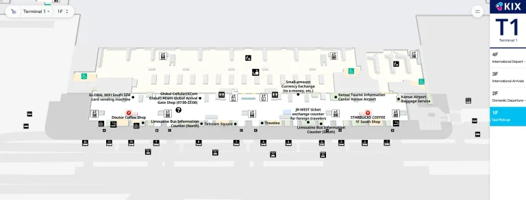
BTL Airport Terminal Overview Map 2024

FAQ
Where to fly into for Battle Creek, Michigan?
The closest airport to Battle Creek, Michigan, is Kalamazoo/Battle Creek International Airport (AZO), located about 20 miles away. This airport offers regional flights connecting to major hubs like Chicago and Detroit.
What airport is BTL?
The airport code BTL refers to Battle Creek Executive Airport at Kellogg Field. It serves general aviation, corporate flights, and military training operations.
How long is the runway at Battle Creek Airport?
Battle Creek Executive Airport (BTL) has a primary runway measuring 10,004 feet in length. This allows it to accommodate large aircraft for both general aviation and military training.
How big is BTL airport?
Battle Creek Executive Airport spans approximately 1,500 acres. It features multiple runways, hangars, and facilities supporting general aviation, corporate jets, and military operations.