Ontario International Airport Terminal 2 Map (Most Up-To-Date)
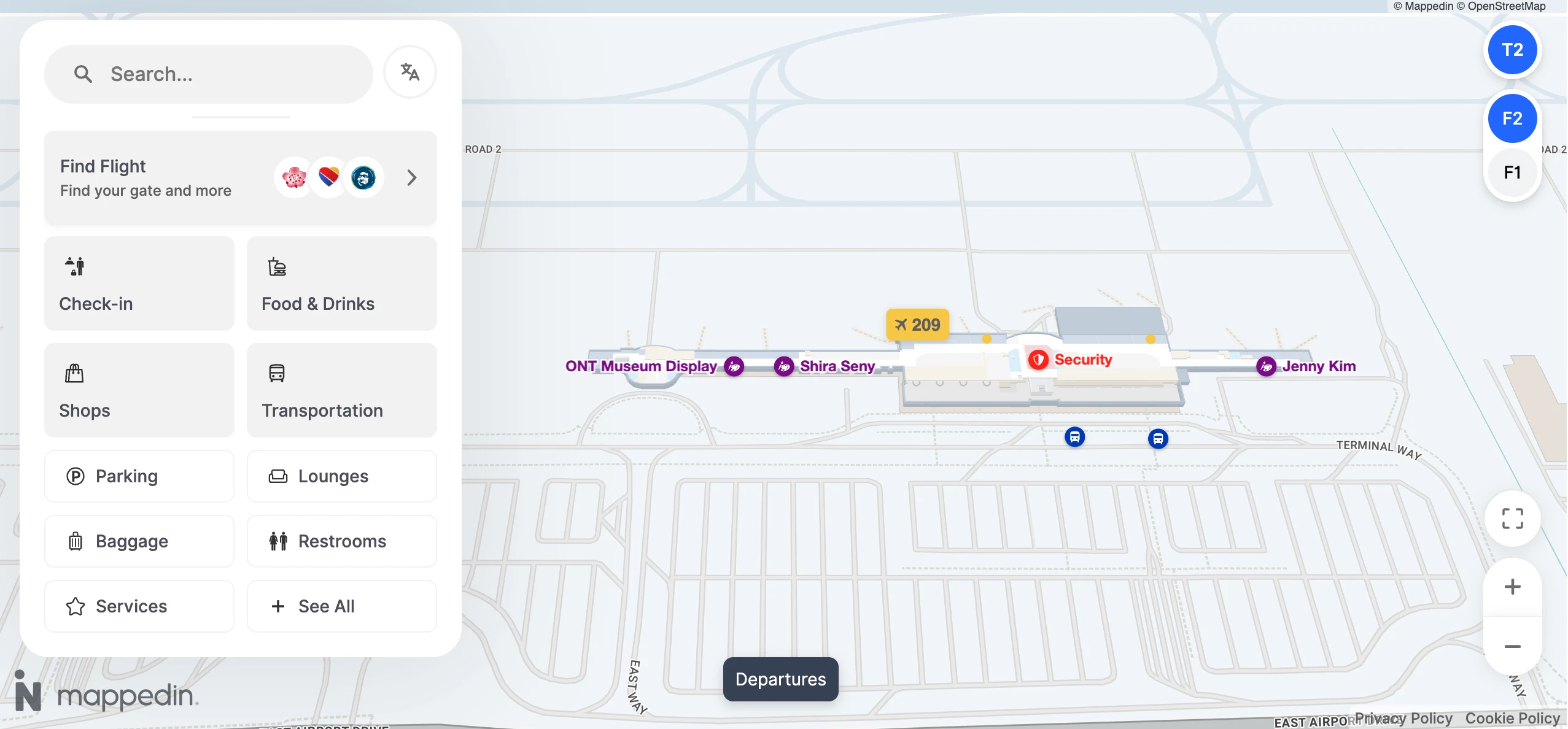
Terminal 2 at Ontario International Airport (ONT) is a compact, linear domestic terminal with a shallow ticketing hall feeding a single, central security block and a straight concourse of Gates 201–212. The building runs roughly end-to-end with “pinch points” at the TSA entrance and the central food node near Gate 207. Within the Inland Empire’s main airport grounds, Terminal 2’s main navigational risk is landside-only connectivity to Terminal 4.
Map Table
| Level | Core Anchors | Gate Span | Groundside Pins |
|---|---|---|---|
| Level 2 | Ticketing lobby, central TSA | 201–212 | TSA queue spill into lobby |
| Level 2 (airside) | Food node, lounge node | 204–210 | Gate 207 gravity zone |
| Level 1 | Baggage claim, arrivals doors | — | Rideshare Columns 12–13 |
Ontario International Airport Terminal 2 Map Strategy
- Treat Terminal 2 ↔ Terminal 4 as an outdoor transfer with mandatory re-screening; avoid planning “tight” switches unless you have enough slack to exit, walk/shuttle, and clear TSA again.
- Use the map like a threat model: security is the time sink, not walking—arrive expecting the TSA line to spill into the ticketing hall and block normal circulation.
- Plan waits around the “barbell” layout: reliable work/power zones cluster near the ends (Gate 201 side and Gate 212 side), while food concentrates around Gate 207—pick one priority early to reduce backtracking.
- Lock down curb precision before you exit baggage claim: rideshare is pinned to the east end at Columns 12–13, and shuttle stopping patterns favor the terminal islands near Door 2, not the full-length curb.
2026 Ontario International Airport Terminal 2 Map + Printable PDF
Terminal 2 remains a “small-but-compressible” layout in 2026: short walks, but fast crowding when security slows. The key operational reality is still the landside-only terminal system—Terminal 2 and Terminal 4 are separated with no airside connector, so a wrong-terminal mistake can force exit + re-screen.
Ontario International Airport Terminal 2 Level 1 Map 2026
Ontario International Airport Terminal 2 Level 2 Map 2026
2026 Ontario International Airport Terminal 2 Map Guide
What is the exact walking route (including whether it goes outdoors) from Terminal 2 exits to the Terminal 4 entrance?
The Terminal 2 to Terminal 4 walk is fully landside and outdoors with no airside connection, so it requires leaving the secured area if you’re transferring. Exit Terminal 2 to the Arrivals/Baggage Claim level (Level 1), go out the doors, then turn right and follow the sidewalk that parallels the terminal loop road (Airport Drive/Terminal Way). Use the marked pedestrian crosswalks to clear the immediate drop-off lanes, then stay on the uncovered concrete path past surface parking areas and the airport command/operations area until the sidewalk delivers you to Terminal 4’s front entrance. Expect about a 10-minute walk at a moderate pace, longer with heavy bags or heat.
On the terminal map, where are the security exit and the fastest re-entry checkpoint located if you must switch terminals (exit + re-clear)?
Re-entry is only possible through the main Terminal 2 TSA checkpoint, because there is no dedicated re-entry lane or airside connector for terminal switching. The security exit from the concourse is positioned right by the central TSA block and drops you back into the Level 2 ticketing lobby (with vertical access down to Level 1 baggage claim via nearby escalators/elevators). For the fastest re-clear, target that same central TSA entrance from the ticketing hall—staying in the Level 2 lobby puts you closest to the checkpoint mouth, and any detour down to Level 1 adds vertical travel and re-orientation before you can rejoin the queue.
Where is the Terminal 2 TSA checkpoint queue spillover area (the furthest point the line reaches when it backs up)?
The TSA queue spillover pushes back into the Level 2 ticketing lobby, because Terminal 2 has no dedicated overflow hall or walled queue buffer. The line propagates outward from the centrally located TSA entrance and can extend into the main public circulation zone between the check-in counters and the checkpoint mouth, where passengers also cross laterally through the lobby. The furthest “backed up” position is effectively the center of the ticketing hall itself—right in front of the airline counter zone—so arriving passengers see the wall of people immediately upon entering the upper-level lobby.
What is the walking distance (feet/meters) from Terminal 2 check-in counters to the Terminal 2 TSA checkpoint via the shortest mapped path?
The shortest mapped walk is roughly 200–300 feet (about 60–90 meters) from the farthest check-in counter positions to the central TSA entrance. The path runs straight across the shallow Level 2 ticketing lobby to the checkpoint mouth, with no long corridor or buffer hall in between. Because the lobby is shallow, any TSA backup compresses into the same space you’d normally traverse from check-in to security, so the effective “walk distance” can turn into a slow crawl when the queue spills into the counter circulation zone.
Where is the Aspire Lounge in Terminal 2 located relative to the main gate corridor (e.g., nearest gate number / junction on the map)?
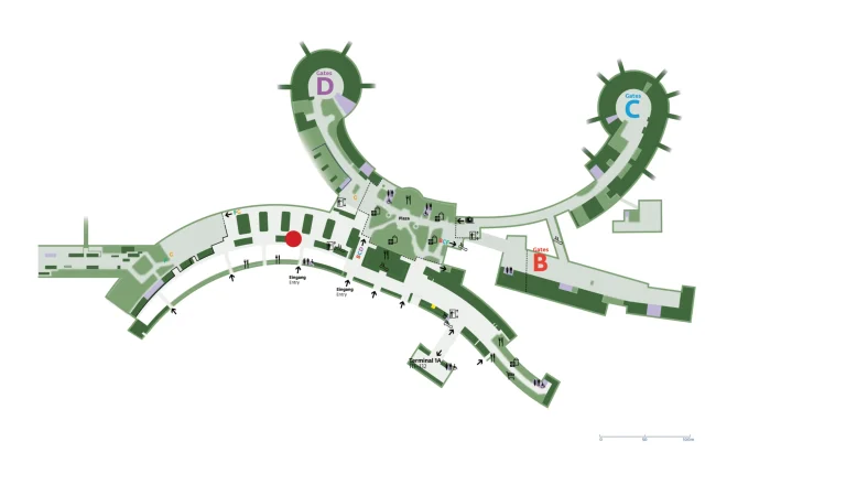
The Aspire Lounge sits along the main concourse near Gate 210, positioned between Gates 209 and 210. After clearing the central security checkpoint, follow the primary gate corridor and go left down the concourse toward the 209–212 side; the lounge entrance appears in the Gate 209/210 segment rather than at the central food node by Gate 207. The closest practical landmark for triangulation is the Gate 210 numbering cluster—if you can see Gate 210 signage, you’re within seconds of the lounge frontage.
On the Terminal 2 map, where are the reliable power-outlet clusters (work counters / seating zones) closest to the lounge area?
Power clusters closest to the Aspire Lounge concentrate around the Gate 210–212 end of the concourse, with the most reliable work-counter zones near Gates 211 and 212. From the lounge between Gates 209 and 210, the nearest high-confidence outlets are the Gate 211 high-top counter area, then the Gate 212 counter zone at the far end (often quieter with window seating). If those are full, the next-nearest power density sits back toward the mid-concourse at Gate 207 (integrated power seating) and Gate 204 (work counter), but both require backtracking away from the lounge node.
Where is Lot 3 (between terminals) on the parking map, and what is the shortest signed pedestrian route from Lot 3 to Terminal 2 departures?
Lot 3 is the main general parking area located between Terminal 2 and Terminal 4, immediately east of Terminal 2 across the terminal loop roadway. The shortest signed route follows the “Walkway to Terminal 2” path from Lot 3 to the terminal islands, then uses the marked pedestrian crosswalks across the active traffic lanes to reach the Terminal 2 building. After entering, go up to Level 2 for departures/ticketing—this route is a surface-level walk with minimal cover, and it typically involves a two-step crossing pattern (Lot 3 → median/terminal islands → terminal doors).
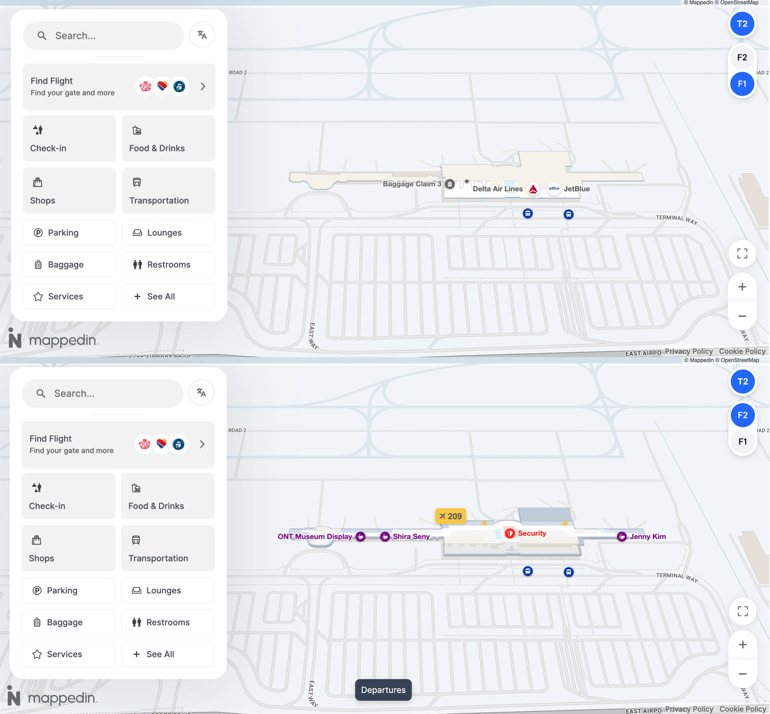
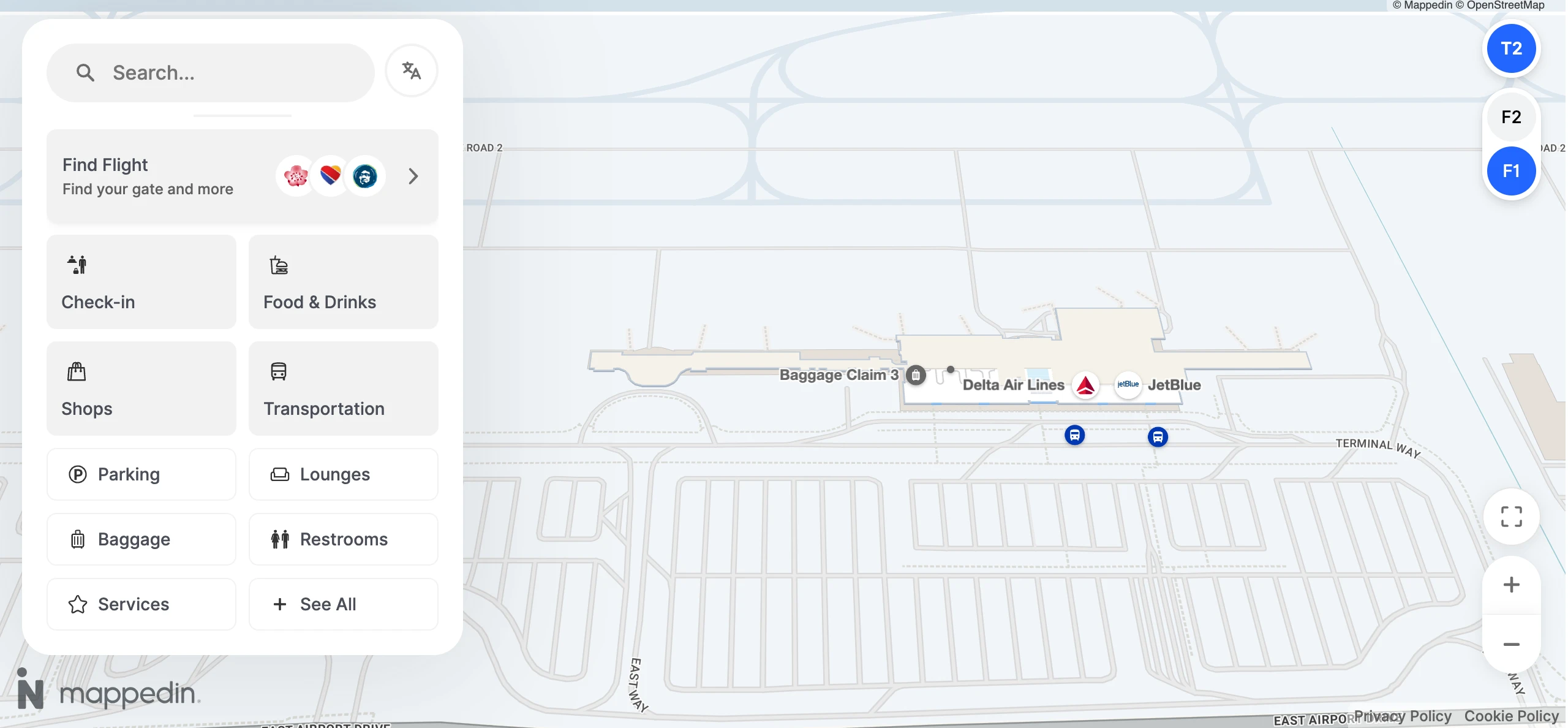
Where is the rideshare pickup zone for Terminal 2 shown, and what is the shortest indoor route from baggage claim to that pickup point?
The Terminal 2 rideshare pickup zone is on the Arrivals/Baggage Claim level (Level 1) at the inner curb, pinned at the east end between Columns 12 and 13. From baggage claim, stay inside the Level 1 arrivals hall and walk toward the east end of the terminal until you reach the exit doors aligned with the Column 12–13 numbering outside. Use the doors closest to that column pair so you don’t have to traverse the curb line outdoors; the common failure mode is exiting near Door 1 on the west end and then having to walk the full curb length to reach the app’s pickup pin.
Where is the inter-terminal shuttle request point (desk/phone/stop) physically located inside Terminal 2 (exact position on map)?
No fixed inter-terminal shuttle request point exists inside Terminal 2 for the standard Terminal 2 ↔ Terminal 4 loop, because the shuttle runs as a continuous loop rather than an on-demand service. The only “request” mechanism applies to specialized stops (such as USO or International Arrivals), which are handled by calling 909-937-1240 or by asking the driver after you board. Practically, the map-relevant navigation move is to skip searching for an interior desk/phone and instead route yourself to the landside shuttle stop area on Level 1 at the terminal islands, where the loop service actually loads.
Where is the Terminal 2 shuttle stop positioned relative to arrivals doors (which door/curb zone) on the landside map?
The Terminal 2 shuttle stop is on the terminal islands (the median curb area), not at the inner curb directly against the building, and it aligns closest to Door 2 on the Arrivals level (Level 1). Exit at arrivals, orient to Door 2, then cross to the island curb where shuttles stage and load; this is the key distinction that prevents “curb hunting” along the building frontage. Frequency typically runs every 5–20 minutes, with a late-night dead zone where service can thin between roughly 12:30 AM and 3:00 AM.
On the Terminal 2 concourse map, which food options are positioned closest to the gates, minimizing backtracking during tight boarding windows?
Food options closest to boarding gates cluster around the central concourse near Gate 207, with the most “no-backtrack” picks sitting directly in the 204–207 zone.
- Tap & Pour near Gate 204
- Pizza Vino near Gate 205
- Brewery X near Gate 207
- Dunkin’ near Gate 207
- Yo-Kai Express vending near Gate 212
- Aspire Lounge between Gates 209 and 210 (access-dependent, often restricted in the evening window)
Where are the restroom clusters nearest the furthest gates in Terminal 2 (to reduce gate-to-restroom sprint risk)?
Restroom cores sit closest to the concourse ends by anchoring around Gate 206 for the Gate 201-side and around Gate 210/211 for the Gate 212-side, so the “furthest gate” restroom move is usually a short walk back from the tip to those cores. From Gate 201, the nearest cluster is reached by walking toward the mid-concourse plumbing core near Gate 206 (also marked by the nursing room across from Gate 206). From Gate 212, the nearest cluster sits back toward the Gate 210/211 node, where the indoor pet relief area is also located. A critical constraint is that family restrooms are temporarily closed due to the TSA expansion project, so plan on standard restroom banks rather than family facilities.