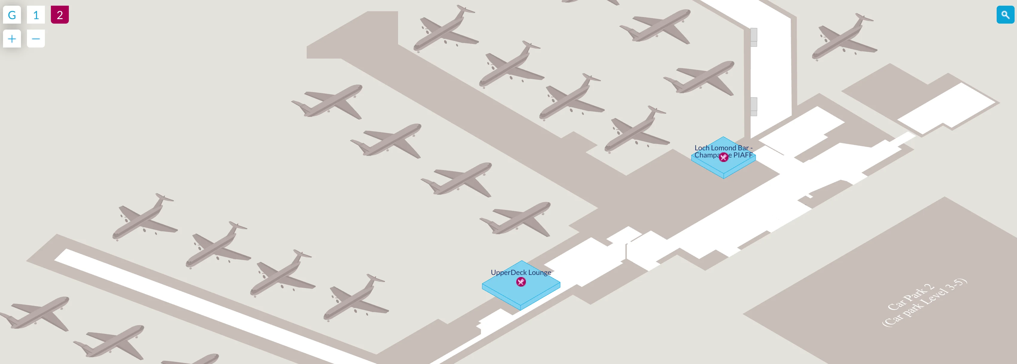
Glasgow Airport Terminal 2 Map (Most Up-To-Date)
Glasgow Airport Terminal 2 is a landside-only, rectangular check-in annex connected to the main building by a covered link walkway, so it “feels” like a second terminal but doesn’t operate like one. The space is small-scale (check-in and bag drop first, then leave), with passenger flow oriented toward the covered corridor that feeds into the main Glasgow hub for escalators, SkyHub security, and all gates.
Map Table
| Zone | Connection | Walk Time |
|---|---|---|
| Terminal 2 check-in hall | Covered link walkway | 1–2 min |
| T1/T2 covered link | Terminal 1 check-in hall | 2–3 min |
| Terminal 1 escalators area | SkyHub security portal | 1–2 min |
| Terminal 2 entrance | Main security queue start | ~3.7 min (290 m) |
Glasgow Airport Terminal 2 Map Strategy
- Treat “Terminal 2” as check-in only, then commit to the covered T2→T1 link; the real departure flow starts at the Terminal 1 escalators by WHSmith and the Special Assistance host desk.
- Budget the full handoff distance, not just the check-in steps: the Terminal 2 entrance to the start of the main security queue is ~290 m (~3.7 minutes) before you even join SkyHub.
- If the queue “reaches the escalator,” the choke point is at the base of the main terminal escalators between WHSmith and Special Assistance; that spillback blocks vertical access and is the practical red-flag for long delays.
- Use the bypass deliberately: Fast Track sits on the first floor beside standard security (left side when you arrive at the top of the escalators), and the post-gate distance to first screening lanes is short (~25–30 m), but secondary search congestion right after the scanners is where belt stoppages and repacking gridlock form.
2026 Glasgow Airport Terminal 2 Map + Printable PDF
Terminal 2 remains a check-in/bag-drop facility, with all departing passengers funneled into the Terminal 1 SkyHub security search area before reaching gates. The operational pinch point is still the escalator-to-security transition inside the main terminal, and roadworks risk remains a real planning factor for arrival timing, especially for taxis and the airport bus.
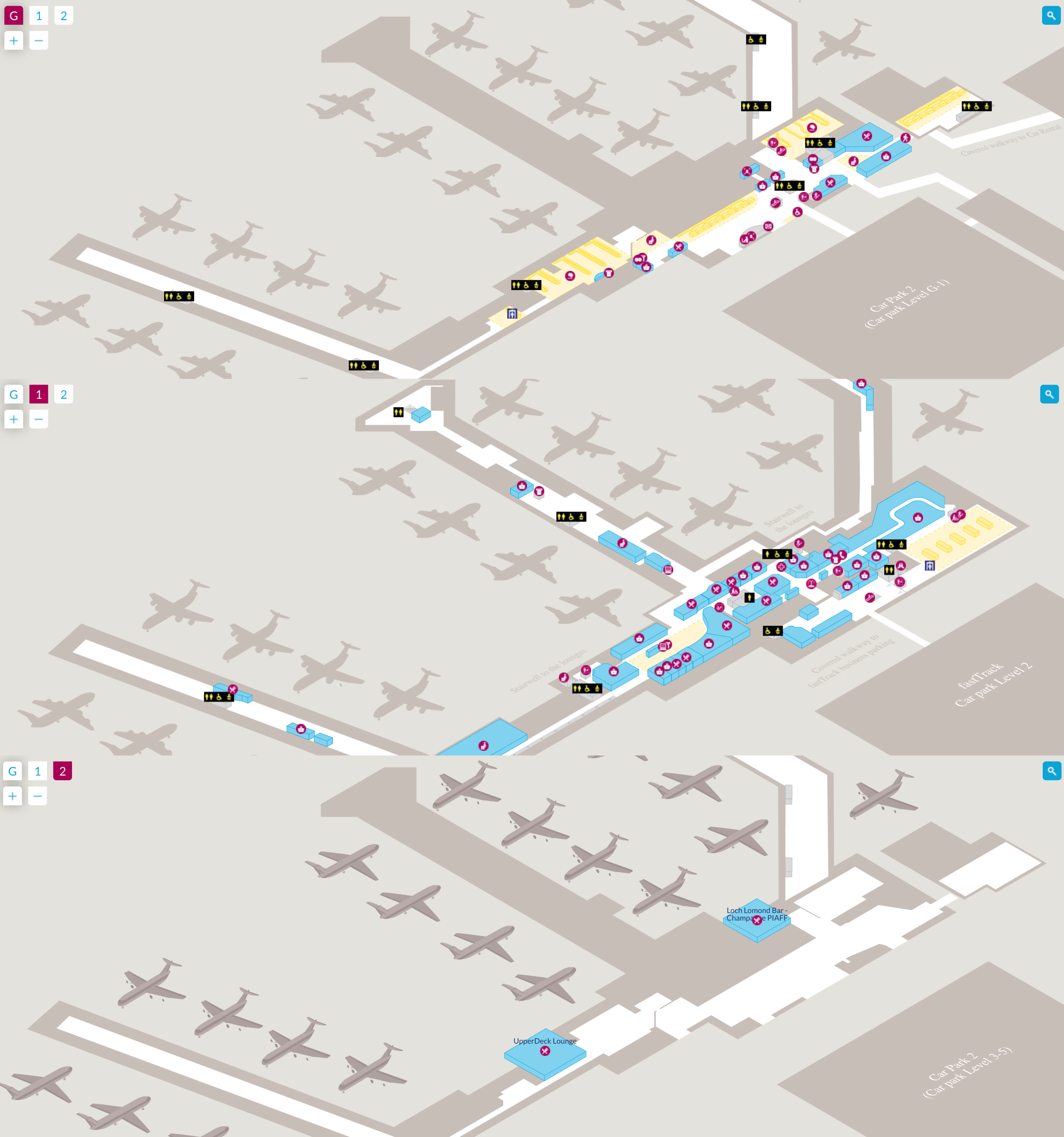
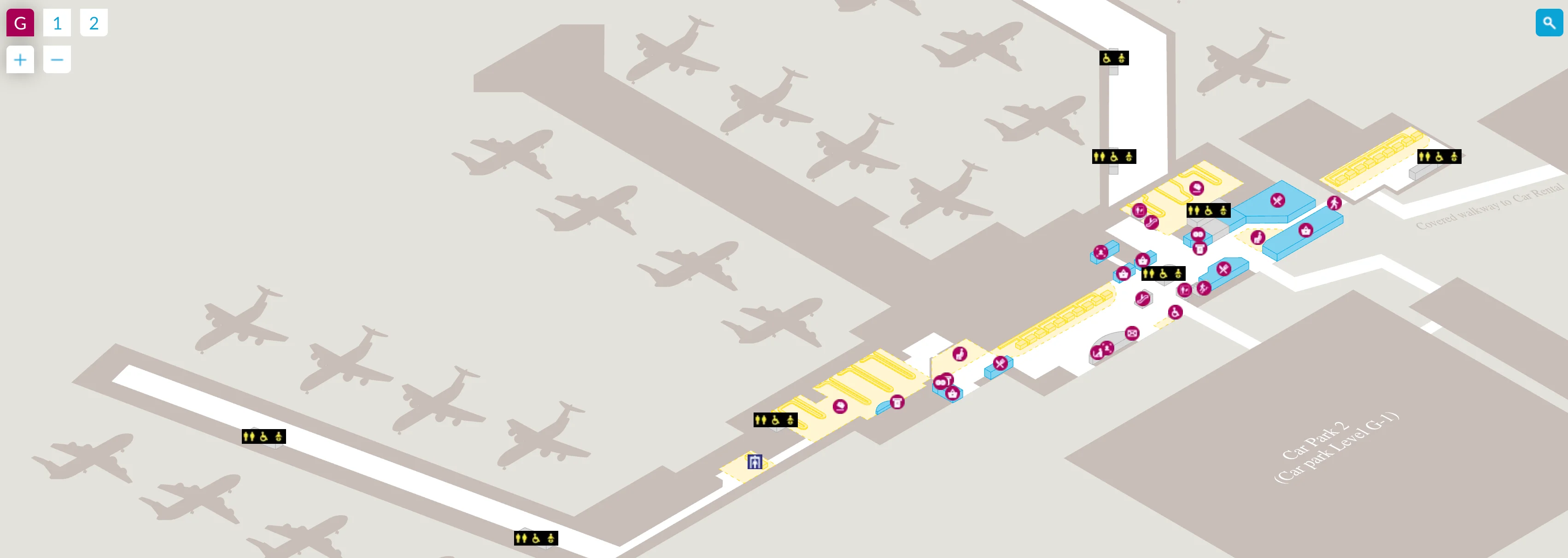
Glasgow Airport Terminal 2 Ground Floor Map 2025
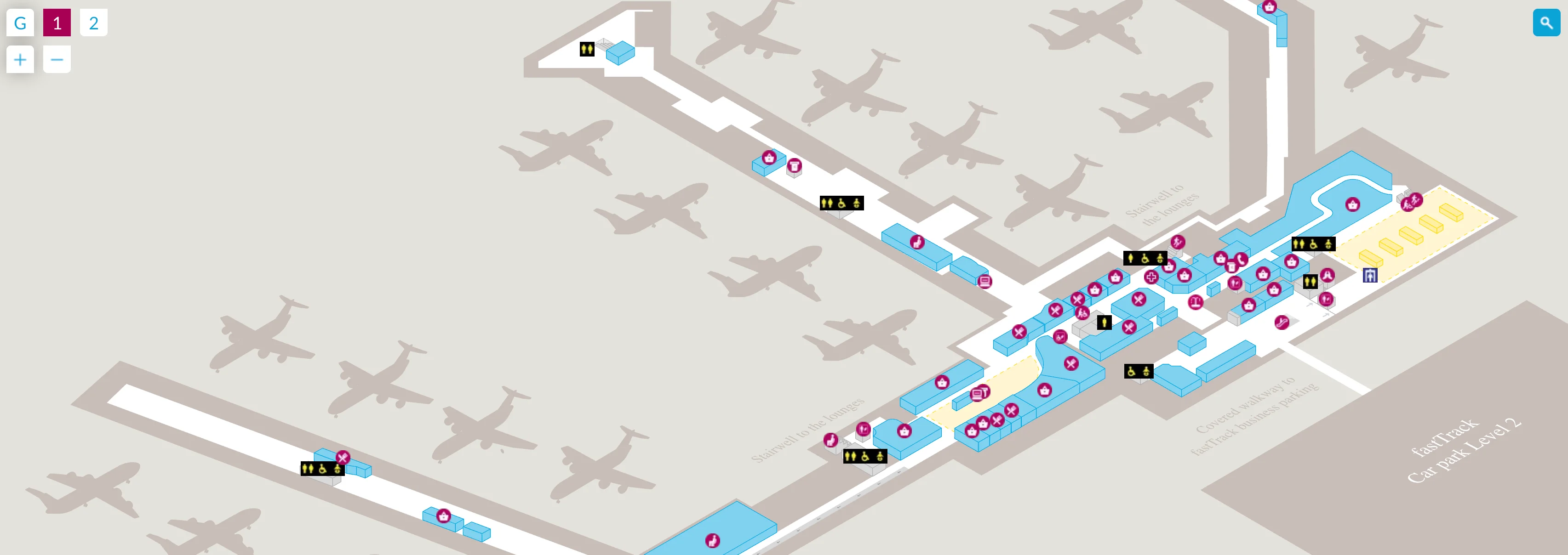
Glasgow Airport Terminal 2 First Floor Map 2025
Glasgow Airport Terminal 2 Second Floor Map 2025
2026 Glasgow Airport Terminal 2 Map Guide
What is the exact walking distance (in meters) from the Terminal 2 check-in entrance to the start of the main security queue area in the main terminal?
The exact walking distance is 290 meters from the Terminal 2 check-in entrance to the start of the main SkyHub security queue in the main terminal.
That total accounts for the internal Terminal 2 walk to the link, the covered T2→T1 walkway, the short approach across the Terminal 1 check-in hall to the escalators/lifts, the level change to first floor, and the final first-floor approach to the security queue start at the SkyHub portal. The best “are we close?” landmark is the escalator node in Terminal 1 between WHSmith and the Special Assistance host desk—once you’re there, you’re at the queue spillback point when it’s busy, and one level change plus a short corridor puts you at the security entrance.
Where is the airside connection point (the exact corridor/doorway) where passengers coming from Terminal 2 processing merge into the main departures concourse?
The merge point is the SkyHub security exit that releases passengers directly into the World Duty Free entrance on the Terminal 1 first-floor departures level.
Terminal 2 has no airside corridor of its own, so there isn’t a “T2-to-gates” doorway inside that annex. After you leave the Terminal 2 check-in hall, you follow the covered link into the Terminal 1 check-in hall, go up the escalators/lifts near WHSmith and the Special Assistance host desk, pass through SkyHub screening, and then emerge at the security outflow into the duty-free threshold. From that exact duty-free entry, passenger flows split onward toward the main departures concourse and the piers/gate corridors.
Where is the Fast Track / Priority Security entrance located relative to the standard security entrance (exact side/landmark-based position on the terminal plan)?
The Fast Track entrance is on the first floor immediately next to the standard security entrance, positioned on the left-hand side as you arrive at the top of the escalators from the check-in hall.
The quickest way to orient is to use the escalator node in the main terminal (between WHSmith and the Special Assistance host desk) as your reference: go up to the first floor and face the main security portal. The standard queue forms in front, while Fast Track is the adjacent, clearly signed entry on the left side of that same portal area, typically closest to the Special Assistance access point.
What is the exact walking distance (in meters) from the Fast Track entrance to the first screening lanes/scanners?
The exact walking distance is about 25–30 meters from the Fast Track e-gates/entrance to the first screening lanes and scanners.
After entering Fast Track on the first floor beside the main security portal, you pass through the electronic access point and follow the short, straight internal approach to the first available lane. The key landmark is the main security portal at the top of the escalators near WHSmith/Special Assistance: once you’re through the Fast Track entry there, the scanner area is only a brief walk ahead, with most of the delay risk coming from lane availability rather than distance.
Where is the secondary bag search / tray re-check area positioned relative to the scanner exit, and what is the shortest path around it if the belt area is congested?
The secondary bag search area is immediately adjacent to the x-ray scanner exits, set alongside the first conveyor-belt outflow where trays collect.
It typically presents as stainless-steel search tables and ETD screening positions right beside the belt end, so congestion forms when flagged bags stack up and passengers stop right at the scanner exit. The shortest bypass is to keep moving away from the scanner outflow toward the far repacking benches at the distal end of the belt run (about 10 meters beyond the search tables), then repack there and peel out toward the World Duty Free entrance rather than waiting in the densest knot at the belt mouth.
Where do the security queues physically spill back to when they “queue to the escalator” (identify the exact escalator/stair location on the departures level plan)?
The spillback point is the main terminal escalator bank in the Terminal 1 check-in hall, located between WHSmith and the Special Assistance host desk.
When SkyHub reaches capacity, the queue retracts from the first-floor ID/security entry back down toward that vertical transit node, eventually occupying the ground-floor space at the base of the escalators and adjacent stairs. This matters for Terminal 2 passengers because the covered T2→T1 walkway delivers you into the same ground-floor hall, and once the line reaches that escalator area it can block access to the lifts/escalators needed to reach the SkyHub entrance above.
What is the exact walking distance from the Terminal 2 check-in hall to the nearest toilets available before entering security?
The exact walking distance is about 175 meters from the Terminal 2 check-in hall to the nearest pre-security toilets, which are in the main terminal building on the ground floor near The Spinning Jenny pub and WHSmith.
Terminal 2 itself doesn’t have a landside toilet block, so you have to traverse the covered T2→T1 link and then angle into the Terminal 1 public concourse to reach those facilities. The most reliable landmark is WHSmith in the Terminal 1 check-in hall: the nearest toilets are in that same landside zone, close to the Spinning Jenny node, before you commit to the escalators up toward SkyHub security.
Where is the most sheltered landside seating/bench area that travelers use for long waits or overnights, and what is its exact position relative to the main public entrances?
The most sheltered landside waiting spot is the Terminal 1 food court seating area before security, near the 24-hour McDonald’s on the first floor.
From the main public entrances into Terminal 1, you enter the ground-floor check-in concourse and then take the central escalators/lifts up (the same vertical node between WHSmith and the Special Assistance host desk). At the top, instead of joining the SkyHub queue, you turn into the pre-security food court zone where padded chairs and tables provide the best wind/noise shelter. Terminal 2’s check-in hall is typically colder and noisier during early operations and doesn’t function as a reliable overnight rest zone.
Where is the closest taxi / private hire pickup point to Terminal 2, and what is the exact walking route from the Terminal 2 doors to that pickup zone?
The closest pickup point depends on whether you mean the official taxi rank or app-based private hire, because both are Terminal 1–centric rather than Terminal 2–centric.
| Pickup type | Closest pickup point to Terminal 2 | Exact walking route from Terminal 2 doors |
|---|---|---|
| Official taxis | Taxi rank outside the Terminal 1 front doors | Exit Terminal 2, follow the signed pedestrian path along the forecourt toward the main terminal frontage, keep to the main public entrance doors, and join the taxi line directly outside. |
| Private hire / app pickup | Designated pickup in the Terminal multi-storey (Car Park 2) | Exit Terminal 2, turn right, follow the pedestrian walkway toward the multi-storey, cross via the pedestrian bridge into Car Park 2, then go to the signed pickup bay area. |
Landmark check: if you can see the main terminal entrance doors, you’re on the correct line for the official taxi rank; if you’re heading toward the multi-storey structure and pedestrian bridge, you’re routing correctly for private hire.
What is the exact walking distance from the Terminal 2 entrance to the Glasgow Airport Express (bus) stop area, using the signed pedestrian route?
The exact walking distance is 210 meters from the Terminal 2 entrance to the Glasgow Airport Express (Service 500) stop area at Stance 1.
The signed route is to exit Terminal 2, turn left onto the pedestrian walkway toward the main terminal frontage, continue about 150 meters, then use the marked pedestrian crossing over the first forecourt traffic lane to reach the central bus islands. The best landmark is the Terminal 1 front doors: once you’re aligned with that frontage, Stance 1 is on the forecourt bus stands immediately in front of the main terminal zone.